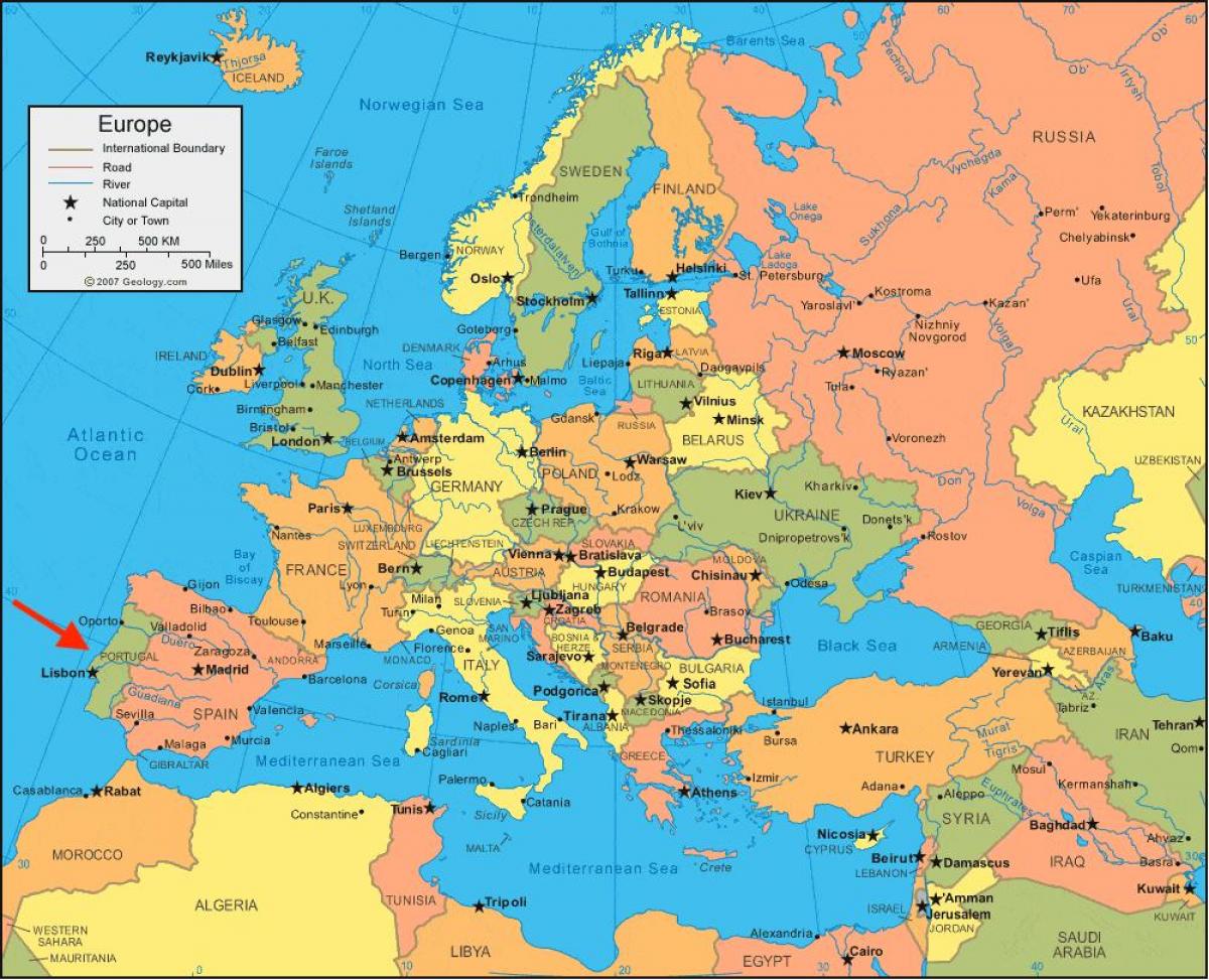
Look at a map of Portugal in Europe and you’ll see something kind of lonely. It’s tucked away. Right there on the edge of the Iberian Peninsula, it looks like it’s trying to jump off the continent into the Atlantic. Most people think of Europe as this interconnected web of borders, but Portugal only has one neighbor. Spain. That’s it.
The geography is basically a paradox.
It is technically Southern Europe, but it doesn't touch the Mediterranean. It’s "Atlantic" in soul but "Mediterranean" in lifestyle. If you trace the lines on a map of Portugal in Europe, you realize the country is essentially a long, rectangular buffer zone between the Spanish interior and the deep blue sea.
The Rectangle on the Edge
Geography isn't just lines on paper; it's destiny. Portugal’s shape is famously stable. Since the 1200s, those borders haven't shifted much. That makes it one of the oldest nation-states in the world. When you look at the northern border with Galicia or the eastern line toward Madrid, you’re seeing boundaries that have survived empires.
The country is roughly 350 miles long and 135 miles wide. It’s small. You can drive from the top to the bottom in about six or seven hours if you don't stop for francesinhas in Porto or pastéis de nata in Lisbon. But don't do that. That’s a terrible way to see the country.
Most people focus on the coast. I get it. The Algarve has those golden cliffs and the silver coast up near Nazaré has waves the size of apartment buildings. But the map of Portugal in Europe hides a lot of mountainous bulk in the north. The Serra da Estrela is no joke. It snows there. People ski. In Portugal! It’s not all sunshine and sardine grills.
The North-South Split
The Douro River is a major landmark. It cuts across the top third of the country. North of the Douro, it’s green, granite-heavy, and rainy. It feels more like Ireland than Italy. South of the Tagus (Tejo) River, which hits the ocean at Lisbon, things flatten out. This is the Alentejo. It’s cork trees, heat ripples, and rolling plains.
- Minho: The rainy, lush top-left corner.
- Douro Valley: Where the port wine comes from.
- Beira Alta: High, rocky, and tough.
- Alentejo: The breadbasket. Hot as an oven in August.
- Algarve: The southern strip where everyone goes for summer.
Why the Atlantic Matters More Than the Mediterranean
Portugal is often lumped in with Italy, Greece, and Spain. Culturally? Sure. Geographically? Not even close. Because it faces west, it gets slammed by the Atlantic. This is why the weather is so different from the humid heat of Barcelona or Rome.
The wind is different here. It’s fresh. It’s salty.
Look at the map of Portugal in Europe again. Notice the lack of Mediterranean coastline. This isolation forced the Portuguese to look out at the ocean. It’s why they became the premier explorers of the 15th century. When your only land neighbor is a massive, occasionally hostile Spain, you find a new route. Vasco da Gama and Magellan didn't have a choice; the map told them where to go.
There's this thing called the "Azores High." It’s a high-pressure system that sits out in the Atlantic. It basically dictates the weather for half of Europe. Even though those islands are 800 miles away from the mainland, they are legally and culturally Portugal. If you include the Azores and Madeira, the map of Portugal in Europe suddenly expands massively into a giant maritime territory.
The Secret Geography of the Interior
Everyone talks about Lisbon. Everyone talks about the Algarve. Honestly, the interior is where the map gets interesting. Along the border with Spain, there is a line of "Fortress Villages." Places like Almeida, Monsaraz, and Marvão.
These towns are built on high, craggy peaks. They were designed to spot Spanish armies from miles away.
Walking through Marvão feels like standing on the edge of the world. You look east and see the vast, dry plains of Extremadura in Spain. You look west and see the granite hills of Portugal. It’s a stark reminder that for centuries, this map was a battlefield.
Specific Landmarks You Need to Spot
- Cabo da Roca: The westernmost point of continental Europe. It’s a cliff with a lighthouse. It’s windy enough to knock your teeth out.
- The Tagus Estuary: It’s huge. It looks like a lake on the map, but it’s where the river meets the sea. Lisbon sits on the north bank.
- The Ria Formosa: A labyrinth of lagoons and islands in the Algarve. On a satellite map, it looks like a frayed piece of lace.
Misconceptions About the Location
People think Portugal is "beside" Spain. Well, it is. But people also assume it’s small enough to "do" in a weekend. You can't.
The topography changes too fast. You can go from the glacial valleys of the Serra da Estrela to the sub-tropical forests of Sintra in a few hours. Because of the Atlantic influence, the micro-climates are wild. It can be 30°C in the Alentejo and a misty 18°C in Sintra at the exact same time.
Also, don't tell a Portuguese person that Portugal is "basically Spain." That is a fast way to get a very cold shoulder. The geography has fostered a very specific, independent identity. The language is different, the food is different (more soup, more cilantro, more rice), and the temperament is much more reserved.
Mapping the Future: The Logistics Hub
Today, the map of Portugal in Europe is becoming a big deal for tech and logistics. Because it’s the first stop in Europe from the Americas, the subsea data cables land here. Sines, a port town south of Lisbon, is turning into a massive data and energy hub.
The country is no longer just a "sun and sand" destination. It’s a bridge.
If you're planning to visit or study the region, understand that the distance between Porto and Lisbon is roughly 195 miles. The train (the Alfa Pendular) does it in about two and a half hours. But the real magic is in the gaps. The spots on the map that don't have big labels. Places like the Schist Villages in the center, where the houses are made of dark, flaky stone.
Actionable Steps for Navigating the Map
If you want to actually experience the geography of Portugal, don't just stick to the coast.
- Download Offline Maps: If you're heading into the Serra da Estrela or the Peneda-Gerês National Park, cell service dies. Use Google Maps offline or an app like AllTrails.
- Follow the N2: It’s Portugal’s version of Route 66. It runs right through the spine of the country, from Chaves in the north to Faro in the south. It’s the best way to see how the landscape shifts from green mountains to golden plains.
- Watch the Tides: If you are visiting the western coast, the Atlantic is powerful. The beaches on the map might look calm, but the undertow is legendary.
- Check the Wind: If you're looking at the map for a beach day, remember the Nortada. It’s a north wind that blows down the coast in summer. If you want shelter, look for south-facing beaches in the Algarve or specific bays like Sesimbra.
The map of Portugal in Europe shows a country that is physically small but geographically diverse. It’s a place defined by its edges. Whether it’s the high granite peaks of the north or the limestone caves of the south, the land tells a story of survival, exploration, and a very stubborn refusal to be absorbed by its neighbor.
To truly understand it, you have to look past the border lines and see the mountains, the rivers, and that endless Atlantic horizon that shaped everything. It’s a corner of Europe that feels like its own little world. And honestly? That’s exactly how the Portuguese like it.
Start your journey by looking at the "Linha de Sintra" or the Douro train line—these rail maps offer a literal window into the geological shifts of the country without needing a car. For those driving, prioritize the A2 highway for speed, but take the side roads (the "Estradas Nacionais") if you actually want to see the cork forests and marble quarries that define the interior.